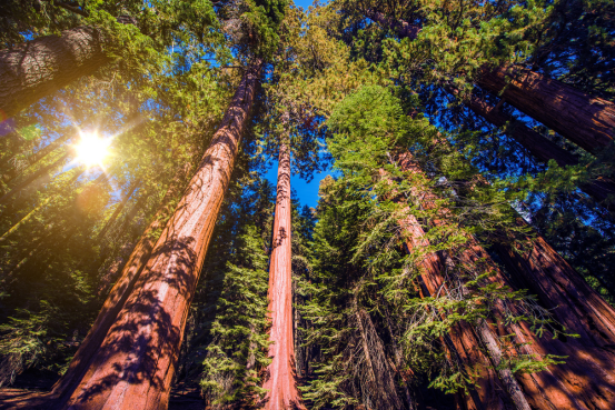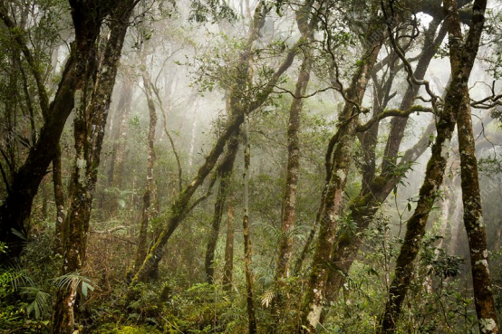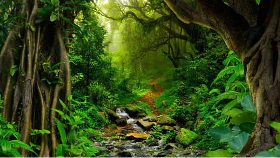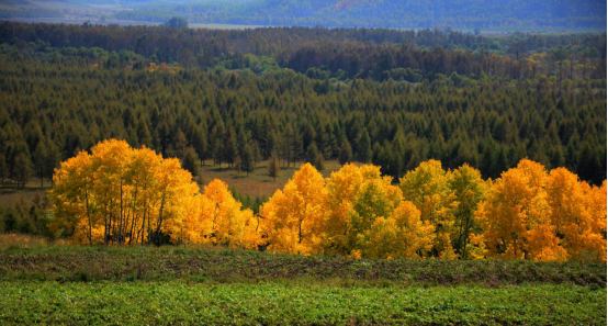
You may not believe it, but in northern China, there is a “breathing dragon” quietly supporting half of the country. It is called Daxing’anling. Starting from the vast forest in the south and connecting to the extremely cold land in the north, this mountain range is like a backbone that has been slowly lifted up from the depths of the earth’s crust over billions of years. Its bones are mountains, its blood is water, and its skin is the boundless forest. It is both a geographical boundary and a cultural intersection.
1. The backbone of the Northeast: the dividing line between the plateau and the plain, a place for dialogue among civilizations
It is true that the Greater Khingan Range is a watershed in China’s geography, but it is more like a silent narrator. Standing between the Inner Mongolia Plateau and the Northeast Plain, it divides the north and the south with the direction of the mountains and rivers, and also divides two worlds.
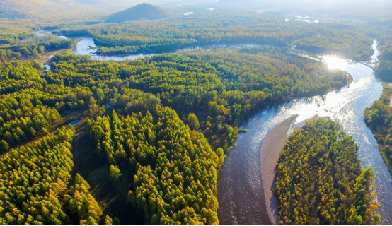
It separates farming and nomadism, but does not reject their mutual friction and integration under the foothills. Liao, Jin, Qing, and even the more distant Northern Wei were born and fought at the junction of the mountains and grasslands, and then written into history books. Some people say that the Greater Khingan Range is silent, but it hides half of the memory of the Chinese nation, which is not an exaggeration.
2. River Nourishers: Where does the water in Northeast China come from?
Many people only see it as a mountain, but ignore that it is the “source of water”. If you pick up a map and look at it, you will find that the Greater Khingan Range is densely dotted with rivers – thick, thin, curved, straight, and some of whose names you may not have heard of. But it is these silent waters that support the lifeline of the Northeast.
For example, the Ergun River, Nenjiang River, Songhua River, and the Heilongjiang River, also known as the “Black Water”, all originate from the Greater Khingan Range and nourish the grasslands, black soil, cities and people.
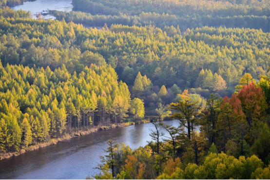
By the way, the annual precipitation in Hulunbuir, where the grass is low and the wind blows, is only 300 mm, while the evaporation is nearly 2,000 mm. In other words, those cattle, sheep, and grass are basically all dependent on the “blood transfusion” of the Greater Khingan Range.
3. China’s Green Lungs: Carbon Sequestration is Not Empty Talk
To explain how important her “breathing” is, we need to understand it from another perspective – carbon sink. Although Daxing’anling occupies less than 3% of China’s land area, it bears one-third of the country’s carbon sink. This is not a data game, but an ecological reality.
Wetlands, forests, and snowfields are stacked together to make this a natural carbon reduction factory. Have you heard of the Nanwenghe Nature Reserve? It is one of the most intact virgin forest wetlands in China, deep in the eastern slope of the Greater Khingan Range.
Sometimes you will feel that these forests are not grown, but rather are “nurtured” by the years without any fuss.
4. A Dance of Ice and Fire: Geological Wonders Are Wilder Than You Think
Who would have thought that the base of the Greater Khingan Range was actually the sea? Yes, hundreds of millions of years ago, this place was once a vast ocean. Later, due to frequent orogeny, the sea water receded, the earth’s crust “turned over”, and the mountains gradually rose and took shape.
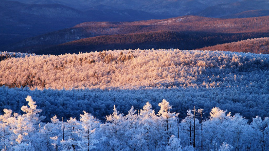
Volcanoes and glaciers, two natural tyrants that should not coexist, have left their common signatures here. If you stand on the vast lava hills of the Arshan volcano group, you will have an illusion: Did some god pour a basin of magma here and then use an ice carving knife to carefully carve out those strange landforms?
The rock pond forest, lava caves, underground rivers, and mortars polished by glaciers are like footprints accidentally left behind by the earth while sleepwalking.
The Qingshan Rock Mortar Scenic Area is even more amazing. It is the only rock mortar type world geological park in China. The landform is so unique that it does not seem to be a product of the earth. When you walk in, on one side is a stone forest carved by knives and axes, and on the other side is a deep pit smashed by time. It feels like a god from which dynasty has spent the night here.
5. The secret of the underground: Can the rich mineral resources be hidden?
What you see is a mountain, but it actually hides more “gold”. Under this mountain range lies one of the richest mineral deposits in China. There are countless mineral deposits in Heilongjiang, with 611 registered deposits alone, accounting for a quarter of the country’s mineral species. Don’t you think this ratio is a bit magical?
People in ancient times had long discovered that there was “gold” here, so they opened post stations and built roads. During the Qing Dynasty, the annual gold production in Daxing’anling could reach 100,000 taels. Can you imagine? Gold flowed all the way from Ergun to Heilongjiang, almost paving a “Golden Road to the North”.
6. She does not only belong to Heilongjiang: Inner Mongolia’s “home court”
When you hear “Daxing’anling”, do you think of Heilongjiang first? But in fact, it belongs more to Inner Mongolia. Looking at the map, the Daxing’anling stretches for more than 1,400 kilometers, and the real “main ridge” – that is, the main part of the mountain range, is actually in Inner Mongolia.
This “green dragon” lies on 330,000 square kilometers of land, equivalent to two Henan provinces. And its spiritual territory also goes far beyond the geographical boundaries. It belongs to the Northeast, to the grassland, and to all the people who live, migrate, think and settle here.
Daxinganling is not just a mountain, but a kind of geological persistence, a cultural backbone, and an ecological wisdom.
She lies quietly in the north of the motherland, without saying a word, but she has participated in almost every important story in northern China.
She is the starting point of geography and the sequel of civilization.