Gullfoss, or “Golden Falls,” stands as a monumental testament to the raw power of nature in Iceland’s Golden Circle. Far more than just a beautiful cascade, this waterfall is a living geological laboratory, constantly reshaping its environment with an astonishing force. The official measurement of its erosive capacity—handling an average of 140 tons of rock and sediment per second—underscores its role as a geological “rock crusher.” This analysis delves into the intricate geological processes that birthed Gullfoss, sustained its immense power, and continue to sculpt the dramatic Icelandic landscape, offering a profound insight into fluvial geomorphology and the dynamic interplay of volcanic and glacial forces.
The Geological Marvel of Gullfoss Falls
The formation of Gullfoss is a complex narrative written over millennia by the forces of volcanism, glaciation, and fluvial erosion. Situated in the canyon of the Hvítá river, its very existence is tied to Iceland’s position on the Mid-Atlantic Ridge, a hotspot of tectonic activity. The bedrock underlying Gullfoss is predominantly composed of basaltic lava flows, laid down during periods of intense volcanic activity. These layers, often interbedded with softer sediments, provide the fundamental canvas upon which the waterfall has carved its masterpiece.
Formation through Glacial and Volcanic Forces
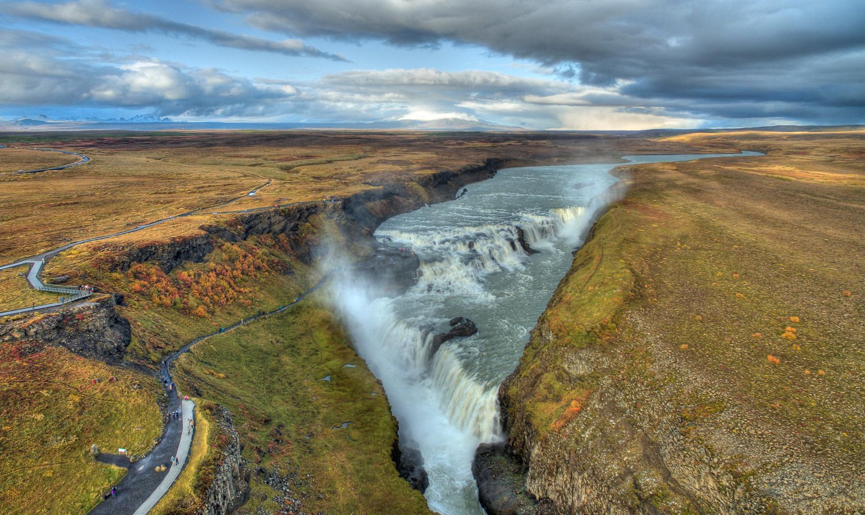
The initial stages of Gullfoss’s canyon formation can be traced back to the last Ice Age. As massive glaciers retreated, they scoured the landscape, carving out valleys and exposing the layered basalt. Meltwater from these glaciers, in conjunction with the immense post-glacial river flow, began the relentless process of erosion. The Hvítá river, fed by the second-largest glacier in Iceland, Langjökull, carries an enormous volume of water, especially during summer melts. This powerful flow exploits weaknesses in the basalt layers, progressively deepening and widening the canyon. The unique two-tiered structure of Gullfoss, where the water plunges in two stages, first 11 meters and then 21 meters into a deep crevice, is a direct result of these differential erosion rates acting upon varying rock hardness.
The Hvítá River’s Power and Canyon Carving
The Hvítá river is not merely a conduit for water; it is a geological tool of immense power. The sheer volume of water, averaging around 100 cubic meters per second but surging up to 2,000 cubic meters per second during floods, generates incredible hydraulic force. This force, combined with the abrasive action of suspended sediment (sand, gravel, and boulders), acts like a giant natural sandpaper, grinding away at the canyon walls and floor. The river’s ability to transport an average of 140 tons of rock and sediment per second is a stark indicator of this erosive power, constantly modifying the landscape and pushing the falls upstream.

Unpacking Gullfoss: A 140-Ton-Per-Second Rock Crusher
The statistic of Gullfoss “handling 140 tons per second” is not merely a number; it represents the dynamic and relentless process of geomorphological change. This figure quantifies the combined erosional and transportational power of the waterfall, making it a critical site for understanding how large-scale fluvial systems shape the Earth’s surface.
Hydrological Dynamics and Erosion Mechanisms
The erosive power of Gullfoss stems from several interconnected hydrological and geological mechanisms. Firstly, **hydraulic action** involves the force of water directly impacting the rock, compressing air into cracks, and causing expansion and contraction that weakens the rock structure. Secondly, **abrasion** occurs as the water carries sediment (from fine sand to large boulders) that grinds against the riverbed and canyon walls, effectively sandpapering the rock away. Thirdly, **cavitation**, though less dominant than hydraulic action and abrasion, can contribute to erosion where high-velocity water creates low-pressure zones that cause air bubbles to form and then violently collapse, generating shockwaves that chip away at rock. The immense flow rate of the Hvítá river amplifies these processes, ensuring a continuous supply of energy and abrasive material.
Sediment Transport and Canyon Deepening
The 140 tons per second figure primarily refers to the sediment load carried by the Hvítá river through Gullfoss. This load includes dissolved minerals, suspended particles (silt and clay), and bedload (sand, gravel, and boulders that roll or skip along the riverbed). The continuous transport of this material is what enables the canyon to deepen and widen. As the waterfall retreats upstream (a common process for waterfalls), it leaves behind a deeper canyon. The rate of retreat varies but is a constant geological activity, driven by the undercutting of softer rock layers beneath the harder basalt cap, leading to the collapse of overlying rock. This process is evident in the zig-zagging, multi-tiered canyon below the main falls.
Historical Impact on the Landscape
Over geological timescales, Gullfoss has been a primary sculptor of the landscape in this part of Iceland. The canyon itself, which stretches for several kilometers, is a direct consequence of the waterfall’s continuous work. This geological activity contributes to the rich soil deposits downstream, influences local microclimates, and even impacts the seismic stability of the region by altering mass distribution. The study of Gullfoss provides valuable insights into paleohydrology, allowing geologists to reconstruct past river flows and understand long-term landscape evolution in volcanically active and glaciated regions.

Geological Significance, Research, and Conservation
Gullfoss is not just a natural wonder; it is a site of immense scientific interest and a symbol of conservation. Its dynamic geology offers a unique opportunity for research into fluvial geomorphology, glacial retreat, and the impact of climate change on hydrological systems.
Studying Fluvial Geomorphology at Gullfoss
Geologists and hydrologists frequently study Gullfoss to understand the mechanics of powerful river systems. Research focuses on quantifying erosion rates, analyzing sediment transport dynamics, and modeling the long-term evolution of waterfalls and canyons. The distinct geological layers and the measurable power of the Hvítá river make Gullfoss an ideal natural laboratory for these studies, contributing to our broader understanding of Earth’s surface processes.
Comparison of Major Waterfalls by Erosive Power
| Waterfall | Location | Dominant Erosion | Geological Context | Average Flow Rate (m³/s) |
|---|---|---|---|---|
| Gullfoss | Iceland | Hydraulic Action, Abrasion | Basaltic lava flows, Glacial erosion | 100-140 (avg) |
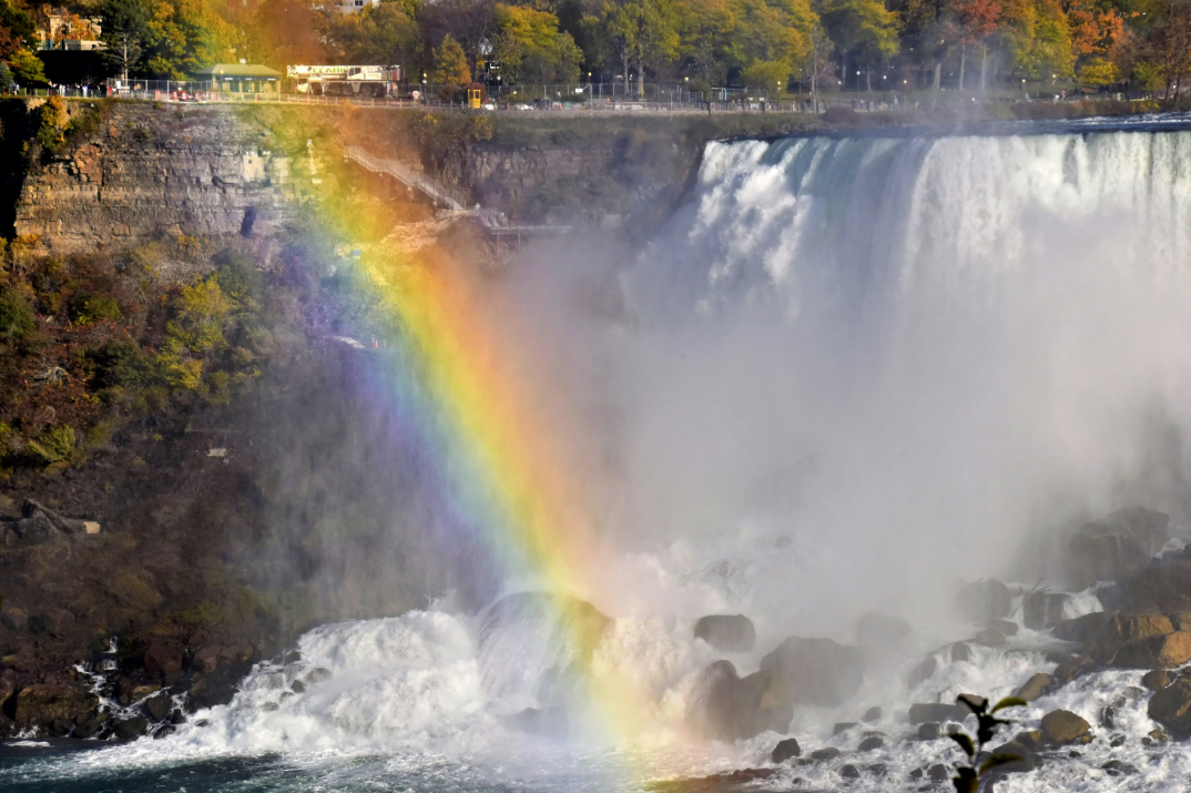
| Niagara Falls | USA/Canada | Undercutting, Plunge Pool Erosion | Dolomite caprock over shale | 2,400 (regulated) |
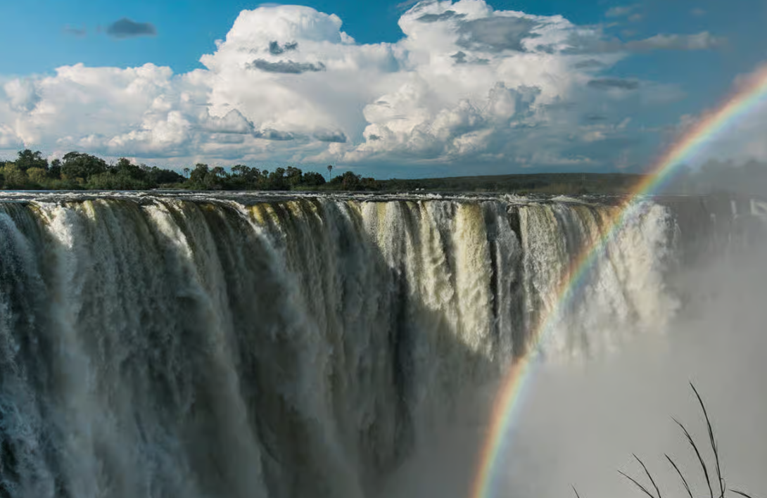
| Victoria Falls | Zambia/Zimbabwe | Joint Exploitation, Retreat | Basaltic lava flows, Rift Valley | 1,088 (avg) |
| Iguazu Falls | Argentina/Brazil | Differential Erosion, Basaltic | Paraná Basin Basalt | 1,746 (avg) |
The Fight for Preservation: A Historical Context
In the early 20th century, there were proposals to harness the immense power of Gullfoss for hydroelectricity. A local farmer’s daughter, Sigríður Tómasdóttir, famously fought against these plans, even threatening to throw herself into the falls to prevent their industrialization. Her tenacious efforts, combined with legal battles, ultimately led to the waterfall and its surroundings becoming state-owned and protected. This historical context highlights the societal recognition of Gullfoss’s intrinsic natural value beyond its potential for resource exploitation, setting a precedent for environmental conservation in Iceland. Today, it remains a protected natural monument, balancing tourism with the need to preserve its unique geological integrity.
Pro Tips for Experiencing Gullfoss’s Geological Power
To truly appreciate Gullfoss, approach it not just as a scenic spot, but as a dynamic geological phenomenon.
Expert Advice for Visitors
- Observe the Layers: Take time to look at the canyon walls. You can often discern the different basaltic lava flows and sedimentary layers that tell the story of its formation.
- Feel the Tremor: Stand close to the viewing platforms (safely!) and feel the ground subtly vibrate from the sheer power of the water hitting the plunge pool. This is a visceral connection to its “rock crusher” capability.
- Visit in Different Seasons: The water flow varies significantly. Spring and early summer (May-July) offer the most dramatic views due to increased glacial melt, showcasing its maximum erosive potential. Winter offers a stark, icy beauty that highlights the resilience of the geological structures.
- Understand the Mist: The constant spray creates a unique microclimate and often produces rainbows. This mist is also a visible sign of the immense energy transfer occurring as water plummets.
- Respect the Environment: Stick to marked paths to protect the fragile surrounding ecosystems and geological formations. The power of the falls means any misstep can be extremely dangerous.
Frequently Asked Questions (FAQ)
- What makes Gullfoss a “rock crusher” handling 140 tons per second?
- This refers to the immense volume of water (averaging 100-140 cubic meters per second) flowing over the falls, which carries an average of 140 tons of rock and sediment per second. This continuous transport and abrasive action of suspended material, combined with the hydraulic force of the water, actively erodes and reshapes the basaltic canyon walls and riverbed, effectively “crushing” and moving vast amounts of rock over time.
- How was Gullfoss Falls formed?
- Gullfoss was primarily formed by the powerful erosive action of the Hvítá river, which is fed by glacial meltwater from Langjökull. The process began after the last Ice Age, as retreating glaciers exposed layered basaltic bedrock. The river then carved its way through these layers, exploiting weaknesses and differential hardness in the rock, leading to the characteristic two-tiered waterfall and deep, zigzagging canyon.
- What kind of rock is found at Gullfoss?
- The dominant rock type at Gullfoss is basalt, a dark, fine-grained volcanic rock. These basalt layers were formed from ancient lava flows during periods of intense volcanic activity in Iceland. Interbedded with the basalt, there can also be softer sedimentary layers, which contribute to the differential erosion that shapes the falls.
- Is Gullfoss still actively eroding and changing?
- Yes, Gullfoss is a highly dynamic geological feature that is continuously eroding and changing. The Hvítá river’s persistent flow, especially during high-water periods, means the waterfall is constantly retreating upstream and deepening its canyon. While these changes occur gradually on a human timescale, geologically speaking, Gullfoss is very much an active and evolving landscape.
- Why was there a fight to save Gullfoss from hydropower development?
- In the early 20th century, there were plans to build a hydroelectric power plant at Gullfoss, which would have significantly altered or destroyed its natural beauty and geological significance. Local conservationists, most notably Sigríður Tómasdóttir, passionately campaigned against these plans, highlighting the intrinsic value of the falls as a natural wonder. Their efforts ultimately led to the government acquiring and protecting Gullfoss, ensuring its preservation for future generations.